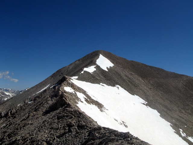
Colorado 14er · 14,276 feet, 4351 meter
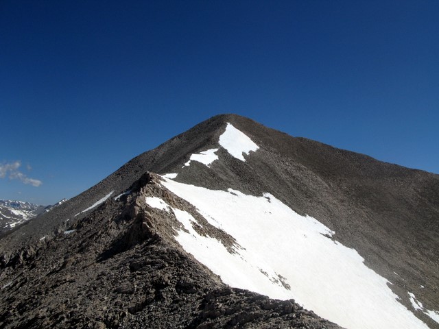
The Sawatch Range is home to fourteen Colorado 14ers. Mt. Antero is the 5th highest at 14,276′. On June 20, 2008, Patrick and Robert, my regular climbing partners and I camped overnight and made the summit the next day. In summary, I found Antero a bit of a dud since you basically follow a 4-wheel drive road within 300 feet of the rocky summit. But once there it provided wonderful views as do most of the mountains in the Sawatch.
Click on any picture to enlarge it.
Antero is about 12.5 miles west of Buena Vista. Paved county road 162 takes you to the turn-off on Country 277. Note that the turn-off is a small dirt road that heads straight up a steep hillside. This is where the fun begins. For 3 miles it is an extremely rough road that is best suited for Jeeps and ATVs – not real cars. The road is rutted and filled with large rocks. I sometimes think I could have gone faster on foot.
I arrived before Patrick and Robert and set up camp by the stream crossing at 11,300′. Since it was mid June, the winter run-off was in full bloom and the stream quite swift. Patrick soon arrived but Robert was a no-show. It ended up that his Honda CRV could not make it up the rocky road so he camped out at the turn-off and hot footed it up the road the next morning.
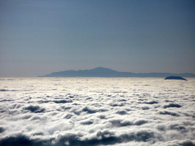
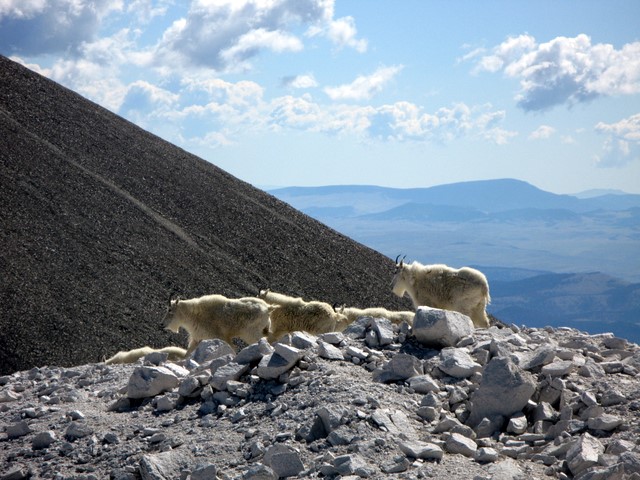
It didn’t take long to reach the turn-off from road to trail. I was glad to leave the dirt road. Thankfully there was enough snow on the road back near treeline that no vehicles were near us. The clouds were layered tot he east as we reached 13,000. Only Pikes Peak was visible in the cloud layer. As we headed towards the summit a group of goats said hello. There were eleven of these furry guys and gals and they were not afraid of us in the least.
The route to the summit follows the direct ridge line and is mostly scree and boulders but not too bad. Once on top we were rewarded with great views of the nearby ranges including Sawatch, Blanca, and Sangere de Cristo ranges plus the Arkansas Valley and Buena Vista. As Patrick and I were making some calls, we noticed a lone figure heading up quickly. It was Robert. The ‘Goat’ had left the junction at 5, made the stream crossing 50 minutes later and now had almost caught up with us – an impressive performance! I took my summit video as we waited for him to join us for a summit photo.
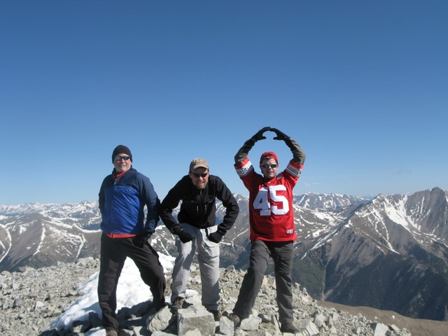
The return trip was fast since we took the snow covered gully and not the road. OK, Antero is not a difficult climb and not the most rewarding. The roads are there as an artifact of the mining days and are still used by people looking for gems. But in spite of all this it is a nice climb with good views.
Preparing for a Climb is More Than Training
Summit Coach
From Your First Summit to Everest. One Coach, the Whole Way.
Planning your next big climb? Work one-on-one with Alan Arnette, Everest and K2 summiteer, for personalized training plans, independent guide-service advice, gear recommendations, and experienced support from preparation through expedition.
No commissions. No conflicts. Just advice focused on your success.